
Roux topographic map
Interactive map
Click on the map to display elevation.
About this map
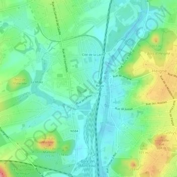
Name: Roux topographic map, elevation, terrain.
Location: Roux, Charleroi, Hainaut, Wallonia, 6044, Belgium (50.42659 4.36252 50.45705 4.40841)
Average elevation: 443 ft
Minimum elevation: 338 ft
Maximum elevation: 604 ft
Other topographic maps
Click on a map to view its topography, its elevation and its terrain.