
So-Bahli-Alhi Glacier topographic map
Interactive map
Click on the map to display elevation.
About this map
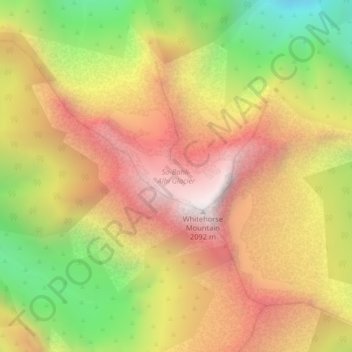
Name: So-Bahli-Alhi Glacier topographic map, elevation, terrain.
Average elevation: 4,534 ft
Minimum elevation: 1,850 ft
Maximum elevation: 6,742 ft