
Lima topographic map
Interactive map
Click on the map to display elevation.
About this map
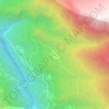
Name: Lima topographic map, elevation, terrain.
Location: Lima, دهستان اشکور سفلی, بخش رحیم آباد, Rudsar County, Iran (36.82293 50.23167 36.86293 50.27167)
Average elevation: 4,439 ft
Minimum elevation: 1,755 ft
Maximum elevation: 8,117 ft