
Merkez Dağı topographic map
Interactive map
Click on the map to display elevation.
About this map
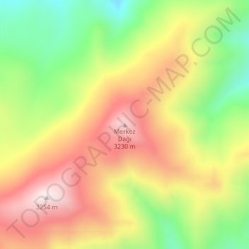
Name: Merkez Dağı topographic map, elevation, terrain.
Location: Merkez Dağı, Başkale, Van, Eastern Anatolia Region, Turkey (37.90332 43.88326 37.90342 43.88336)
Average elevation: 9,823 ft
Minimum elevation: 8,885 ft
Maximum elevation: 10,719 ft