
Yulara topographic map
Interactive map
Click on the map to display elevation.
About this map
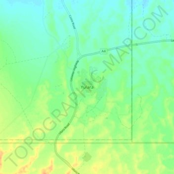
Name: Yulara topographic map, elevation, terrain.
Location: Yulara, Northern Territory, Australia (-25.28101 130.94694 -25.20101 131.02694)
Average elevation: 1,663 ft
Minimum elevation: 1,624 ft
Maximum elevation: 1,722 ft