
Belleville topographic map
Interactive map
Click on the map to display elevation.
About this map
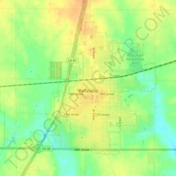
Name: Belleville topographic map, elevation, terrain.
Location: Belleville, Republic County, Kansas, United States (39.81152 -97.66141 39.83883 -97.61407)
Average elevation: 1,522 ft
Minimum elevation: 1,460 ft
Maximum elevation: 1,572 ft