
دهستان برخوار غربی topographic map
Interactive map
Click on the map to display elevation.
About this map
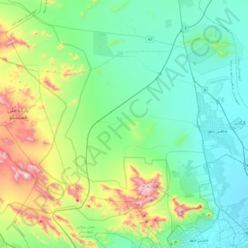
Name: دهستان برخوار غربی topographic map, elevation, terrain.
Average elevation: 5,925 ft
Minimum elevation: 5,164 ft
Maximum elevation: 8,409 ft
Other topographic maps
Click on a map to view its topography, its elevation and its terrain.
Murchehkhort
Iran > Isfahan Province > Shahin Shahr and Meymeh County > دهستان مورچه خورت > Murchehkhort
Murchehkhort, دهستان مورچه خورت, بخش مرکزی شهرستان شاهین شهر و میمه, Shahin Shahr and Meymeh County, Isfahan Province, Iran
Average elevation: 5,492 ft