
Mount Carmel topographic map
Interactive map
Click on the map to display elevation.
About this map
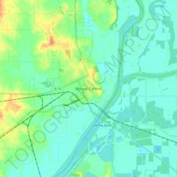
Name: Mount Carmel topographic map, elevation, terrain.
Location: Mount Carmel, Wabash County, Illinois, 62863, United States (38.37088 -87.80142 38.45088 -87.72142)
Average elevation: 417 ft
Minimum elevation: 374 ft
Maximum elevation: 528 ft