
Vordernberg topographic map
Interactive map
Click on the map to display elevation.
About this map
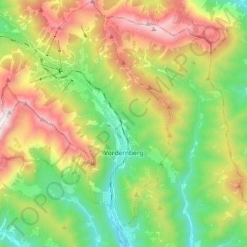
Name: Vordernberg topographic map, elevation, terrain.
Location: Vordernberg, Bezirk Leoben, Styria, 8794, Austria (47.45544 14.93047 47.54199 15.01912)
Average elevation: 4,213 ft
Minimum elevation: 2,388 ft
Maximum elevation: 7,014 ft