
Thayer topographic map
Interactive map
Click on the map to display elevation.
About this map
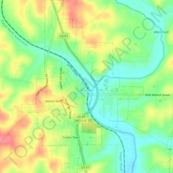
Name: Thayer topographic map, elevation, terrain.
Location: Thayer, Oregon County, Missouri, 65791, United States (36.50642 -91.55592 36.54424 -91.52268)
Average elevation: 617 ft
Minimum elevation: 502 ft
Maximum elevation: 764 ft
Other topographic maps
Click on a map to view its topography, its elevation and its terrain.
Alton
United States > Missouri > Oregon County
Alton, Oregon County, Missouri, 65606, United States
Average elevation: 804 ft