
Saluda topographic map
Interactive map
Click on the map to display elevation.
About this map
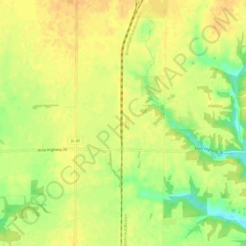
Name: Saluda topographic map, elevation, terrain.
Location: Saluda, Knox County, Illinois, USA (40.85198 -90.41430 40.89198 -90.37430)
Average elevation: 758 ft
Minimum elevation: 689 ft
Maximum elevation: 791 ft