
Sar Khun, Chaharmahal and Bakhtiari topographic map
Interactive map
Click on the map to display elevation.
About this map
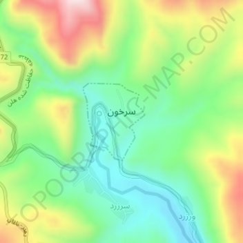
Name: Sar Khun, Chaharmahal and Bakhtiari topographic map, elevation, terrain.
Average elevation: 5,322 ft
Minimum elevation: 4,767 ft
Maximum elevation: 6,224 ft