
Durg topographic map
Interactive map
Click on the map to display elevation.
About this map
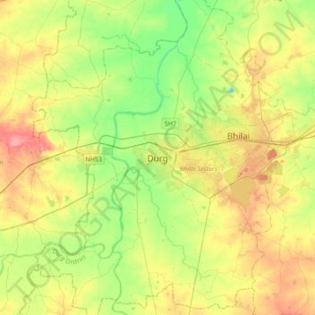
Name: Durg topographic map, elevation, terrain.
Location: Durg, Durg Tahsil, Durg District, Chhattisgarh, 491002, India (21.02965 81.12511 21.34965 81.44511)
Average elevation: 968 ft
Minimum elevation: 850 ft
Maximum elevation: 1,125 ft