
Douglas topographic map
Interactive map
Click on the map to display elevation.
About this map
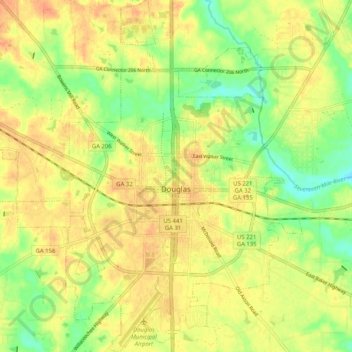
Name: Douglas topographic map, elevation, terrain.
Location: Douglas, Coffee County, Georgia, United States (31.46835 -82.90550 31.55543 -82.81301)
Average elevation: 236 ft
Minimum elevation: 157 ft
Maximum elevation: 289 ft