
Grabs topographic map
Interactive map
Click on the map to display elevation.
About this map
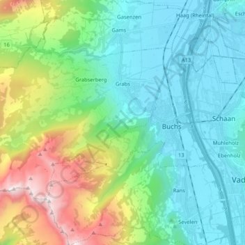
Name: Grabs topographic map, elevation, terrain.
Location: Grabs, Wahlkreis Werdenberg, St. Gallen, 9472, Switzerland (47.13054 9.31761 47.19819 9.47687)
Average elevation: 3,005 ft
Minimum elevation: 1,430 ft
Maximum elevation: 7,720 ft