
Ugong topographic map
Interactive map
Click on the map to display elevation.
About this map
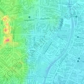
Name: Ugong topographic map, elevation, terrain.
Average elevation: 72 ft
Minimum elevation: -23 ft
Maximum elevation: 328 ft
Other topographic maps
Click on a map to view its topography, its elevation and its terrain.
Kalawaan
Kalawaan, Pasig, Eastern Manila District, Metro Manila, 1600, Philippines
Average elevation: 16 ft