
Kafr al Hanadiwah topographic map
Interactive map
Click on the map to display elevation.
About this map
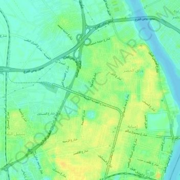
Name: Kafr al Hanadiwah topographic map, elevation, terrain.
Location: Kafr al Hanadiwah, Giza Governorate, 22222, Egypt (30.07639 31.18500 30.11639 31.22500)
Average elevation: 72 ft
Minimum elevation: 36 ft
Maximum elevation: 115 ft