
Staten Island topographic map
Interactive map
Click on the map to display elevation.
About this map
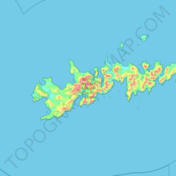
Name: Staten Island topographic map, elevation, terrain.
Location: Staten Island, Departamento Ushuaia, TDF, 9410, Argentina (-54.91652 -64.75776 -54.71307 -63.79571)
Average elevation: 75 ft
Minimum elevation: -3 ft
Maximum elevation: 2,556 ft
Other topographic maps
Click on a map to view its topography, its elevation and its terrain.
Cerro las tetas
Cerro las tetas, Departamento Tolhuin, TDF, Argentina
Average elevation: 1,086 ft