
Adelaide (Sellicks Hill) Weather Radar topographic map
Interactive map
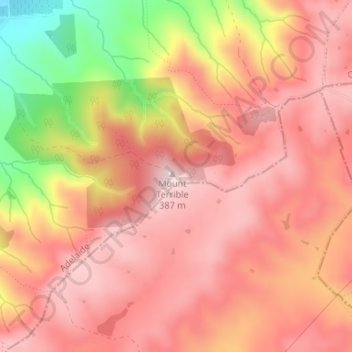
Click on the map to display elevation.
About this map
Name: Adelaide (Sellicks Hill) Weather Radar topographic map, elevation, terrain.
Average elevation: 955 ft
Minimum elevation: 269 ft
Maximum elevation: 1,270 ft
Other topographic maps
Click on a map to view its topography, its elevation and its terrain.
Aldinga Beach
Australia > South Australia > City of Onkaparinga > Adelaide
Aldinga Beach, Adelaide, City of Onkaparinga, South Australia, 5173, Australia
Average elevation: 66 ft
Morphett Vale
Australia > South Australia > City of Onkaparinga > Adelaide
Morphett Vale, Adelaide, City of Onkaparinga, South Australia, 5162, Australia
Average elevation: 318 ft