
Speyer topographic map
Interactive map
Click on the map to display elevation.
About this map
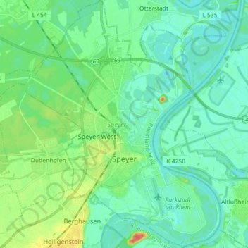
Name: Speyer topographic map, elevation, terrain.
Location: Speyer, Rhineland-Palatinate, 67346, Germany (49.28306 8.37685 49.37601 8.49183)
Average elevation: 328 ft
Minimum elevation: 292 ft
Maximum elevation: 440 ft