
Rosary Heights VIII topographic map
Interactive map
Click on the map to display elevation.
About this map
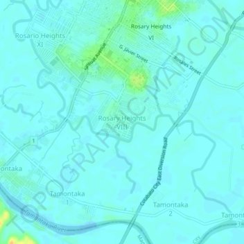
Name: Rosary Heights VIII topographic map, elevation, terrain.
Location: Rosary Heights VIII, Cotabato City, Bangsamoro, Philippines (7.17010 124.22318 7.21010 124.26318)
Average elevation: 16 ft
Minimum elevation: -7 ft
Maximum elevation: 95 ft
Other topographic maps
Click on a map to view its topography, its elevation and its terrain.
Bubong
Bubong, Cotabato City, Bangsamoro, Philippines
Average elevation: 13 ft