
Cherryvale topographic map
Interactive map
Click on the map to display elevation.
About this map
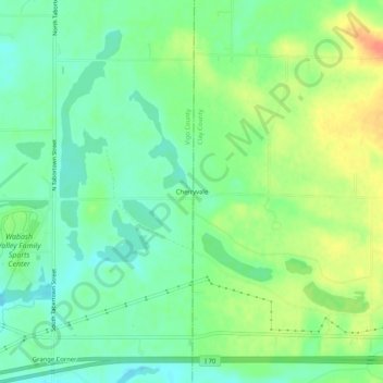
Name: Cherryvale topographic map, elevation, terrain.
Location: Cherryvale, Vigo County, Indiana, 47878, USA (39.44337 -87.25946 39.48337 -87.21946)
Average elevation: 610 ft
Minimum elevation: 551 ft
Maximum elevation: 696 ft