
Zanjan topographic map
Interactive map
Click on the map to display elevation.
About this map
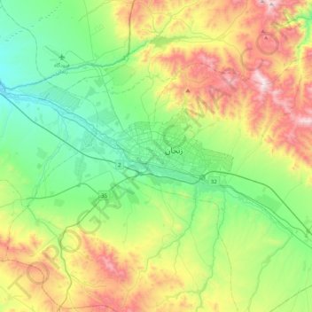
Name: Zanjan topographic map, elevation, terrain.
Location: Zanjan, بخش مرکزی, Zanjan Province, 45136, Iran (36.50998 48.32594 36.82998 48.64594)
Average elevation: 6,155 ft
Minimum elevation: 4,888 ft
Maximum elevation: 8,714 ft