
Los Andes topographic map
Interactive map
Click on the map to display elevation.
About this map
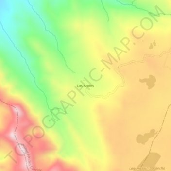
Name: Los Andes topographic map, elevation, terrain.
Location: Los Andes, Province of Daniel Carrión, Pasco, Peru (-10.72590 -76.53521 -10.68590 -76.49521)
Average elevation: 14,459 ft
Minimum elevation: 13,530 ft
Maximum elevation: 15,338 ft