
Arfoud topographic map
Interactive map
Click on the map to display elevation.
About this map
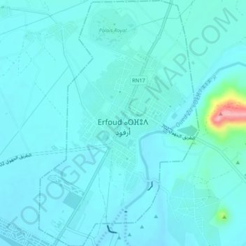
Name: Arfoud topographic map, elevation, terrain.
Location: Arfoud, Errachidia Province, Drâa-Tafilalet, 52200, Morocco (31.41555 -4.24819 31.45027 -4.22165)
Average elevation: 2,641 ft
Minimum elevation: 2,592 ft
Maximum elevation: 3,048 ft