
Egypt topographic map
Interactive map
Click on the map to display elevation.
About this map
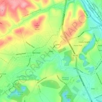
Name: Egypt topographic map, elevation, terrain.
Average elevation: 446 ft
Minimum elevation: 253 ft
Maximum elevation: 702 ft
Other topographic maps
Click on a map to view its topography, its elevation and its terrain.
Fullerton
United States > Pennsylvania > Lehigh County > Whitehall > Fullerton
Fullerton, Whitehall, Lehigh County, Pennsylvania, United States
Average elevation: 348 ft