
Muirhead topographic map
Interactive map
Click on the map to display elevation.
About this map
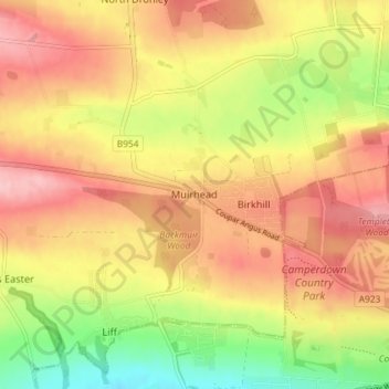
Name: Muirhead topographic map, elevation, terrain.
Location: Muirhead, Angus, Scotland, DD2 5QN, United Kingdom (56.47736 -3.08790 56.51736 -3.04790)
Average elevation: 397 ft
Minimum elevation: 128 ft
Maximum elevation: 600 ft