
Rehe topographic map
Interactive map
Click on the map to display elevation.
About this map
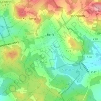
Name: Rehe topographic map, elevation, terrain.
Location: Rehe, Rennerod, Westerwaldkreis, Rhineland-Palatinate, Germany (50.60754 8.09564 50.64814 8.14128)
Average elevation: 1,837 ft
Minimum elevation: 1,673 ft
Maximum elevation: 2,126 ft