
Buffalo Hill topographic map
Interactive map
Click on the map to display elevation.
About this map
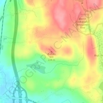
Name: Buffalo Hill topographic map, elevation, terrain.
Average elevation: 633 ft
Minimum elevation: 469 ft
Maximum elevation: 791 ft
Other topographic maps
Click on a map to view its topography, its elevation and its terrain.
West Oxford
United States > Massachusetts > Worcester County > Oxford
West Oxford, Oxford, Worcester County, Massachusetts, 01540, United States
Average elevation: 538 ft