
Agdangan topographic map
Interactive map
Click on the map to display elevation.
About this map
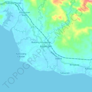
Name: Agdangan topographic map, elevation, terrain.
Location: Agdangan, Quezon, Calabarzon, 4304, Philippines (13.83594 121.87418 13.91594 121.95418)
Average elevation: 59 ft
Minimum elevation: -10 ft
Maximum elevation: 486 ft