
Mount Carmel topographic map
Interactive map
Click on the map to display elevation.
About this map
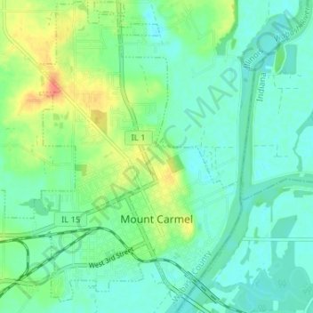
Name: Mount Carmel topographic map, elevation, terrain.
Location: Mount Carmel, Wabash County, Illinois, USA (38.39557 -87.80128 38.44621 -87.74350)
Average elevation: 420 ft
Minimum elevation: 374 ft
Maximum elevation: 528 ft