
Owen Stanley Range topographic map
Interactive map
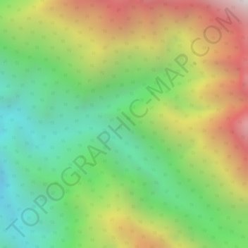
Click on the map to display elevation.
About this map
Name: Owen Stanley Range topographic map, elevation, terrain.
Average elevation: 8,038 ft
Minimum elevation: 5,984 ft
Maximum elevation: 10,653 ft
Other topographic maps
Click on a map to view its topography, its elevation and its terrain.
Sogeri
Papua New Guinea > Central > Sogeri
Sogeri, Central, Papua Region, Papua New Guinea
Average elevation: 1,713 ft