
Hildesheim topographic map
Interactive map
Click on the map to display elevation.
About this map
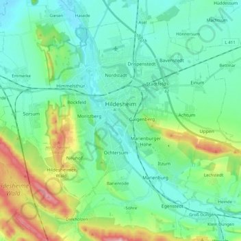
Name: Hildesheim topographic map, elevation, terrain.
Location: Hildesheim, Landkreis Hildesheim, Lower Saxony, Germany (52.09358 9.84655 52.19391 10.04285)
Average elevation: 394 ft
Minimum elevation: 217 ft
Maximum elevation: 978 ft