
Saint-Julien-de-la-Nef topographic map
Interactive map
Click on the map to display elevation.
About this map
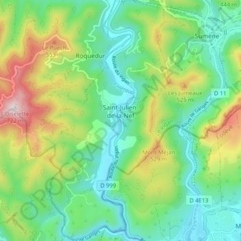
Name: Saint-Julien-de-la-Nef topographic map, elevation, terrain.
Average elevation: 1,066 ft
Minimum elevation: 476 ft
Maximum elevation: 2,326 ft