
Wittingen topographic map
Interactive map
Click on the map to display elevation.
About this map
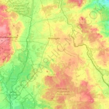
Name: Wittingen topographic map, elevation, terrain.
Location: Wittingen, Gifhorn, Lower Saxony, Germany (52.60248 10.62741 52.79663 10.90309)
Average elevation: 262 ft
Minimum elevation: 151 ft
Maximum elevation: 381 ft