
Bloemendaal topographic map
Interactive map
Click on the map to display elevation.
About this map
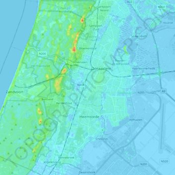
Name: Bloemendaal topographic map, elevation, terrain.
Location: Bloemendaal, North Holland, Netherlands, The Netherlands (52.30930 4.52605 52.43930 4.63165)
Average elevation: 10 ft
Minimum elevation: -23 ft
Maximum elevation: 131 ft