
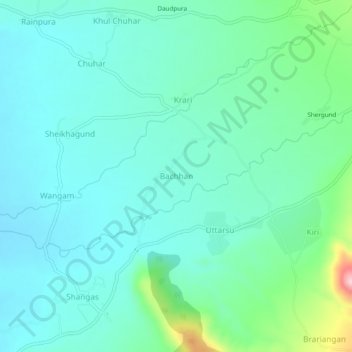
Bachhan topographic map
Interactive map
Click on the map to display elevation.
About this map
Name: Bachhan topographic map, elevation, terrain.
Average elevation: 5,738 ft
Minimum elevation: 5,561 ft
Maximum elevation: 6,463 ft
Other topographic maps
Click on a map to view its topography, its elevation and its terrain.
Kuther
India > Jammu and Kashmir > Shangus tehsil
Kuther, Shangus tehsil, Anantnag District, Jammu and Kashmir, 192201, India
Average elevation: 6,109 ft