
Garnet topographic map
Interactive map
Click on the map to display elevation.
About this map
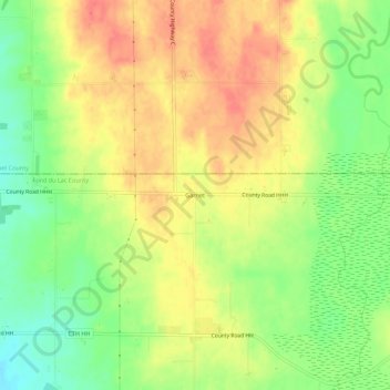
Name: Garnet topographic map, elevation, terrain.
Location: Garnet, Fond du Lac County, Wisconsin, USA (43.91555 -88.28288 43.95555 -88.24288)
Average elevation: 922 ft
Minimum elevation: 823 ft
Maximum elevation: 1,001 ft