
Templeman topographic map
Interactive map
Click on the map to display elevation.
About this map
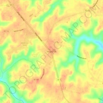
Name: Templeman topographic map, elevation, terrain.
Location: Templeman, Westmoreland County, Virginia, USA (38.05069 -76.79495 38.09069 -76.75495)
Average elevation: 121 ft
Minimum elevation: 23 ft
Maximum elevation: 164 ft