
Agra topographic map
Interactive map
Click on the map to display elevation.
About this map
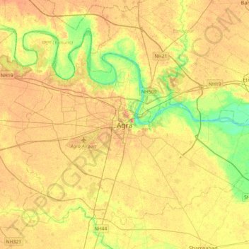
Name: Agra topographic map, elevation, terrain.
Location: Agra, Uttar Pradesh, 280001, India (27.01526 77.84982 27.33526 78.16982)
Average elevation: 545 ft
Minimum elevation: 469 ft
Maximum elevation: 594 ft