
San Augustin topographic map
Interactive map
Click on the map to display elevation.
About this map
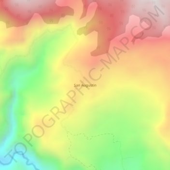
Name: San Augustin topographic map, elevation, terrain.
Location: San Augustin, Colombia, Norte, Huila, Colombia (3.28618 -74.70369 3.32618 -74.66369)
Average elevation: 5,440 ft
Minimum elevation: 3,471 ft
Maximum elevation: 7,156 ft