
Dotsero topographic map
Interactive map
Click on the map to display elevation.
About this map
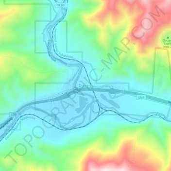
Name: Dotsero topographic map, elevation, terrain.
Location: Dotsero, Eagle County, Colorado, United States (39.62971 -107.08033 39.66971 -107.04033)
Average elevation: 6,631 ft
Minimum elevation: 6,129 ft
Maximum elevation: 7,815 ft