
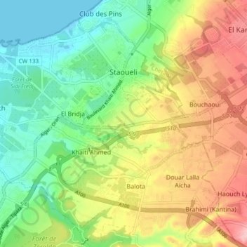
Staoueli topographic map
Interactive map
Click on the map to display elevation.
About this map
Name: Staoueli topographic map, elevation, terrain.
Location: Staoueli, Zeralda District, Algiers, Algeria (36.71567 2.83764 36.76591 2.91202)
Average elevation: 230 ft
Minimum elevation: 0 ft
Maximum elevation: 551 ft
Other topographic maps
Click on a map to view its topography, its elevation and its terrain.
Khaiti Ahmed
Algeria > Algiers > Zeralda District > Staoueli > Khaiti Ahmed
Khaiti Ahmed, Staoueli, Zeralda District, Algiers, 16102, Algeria
Average elevation: 203 ft