
Banting topographic map
Interactive map
Click on the map to display elevation.
About this map
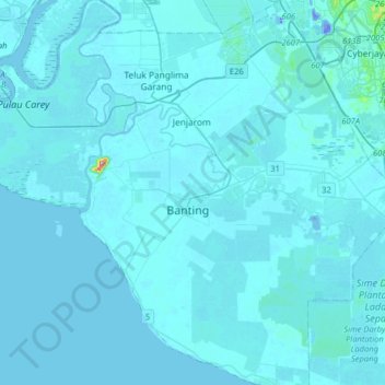
Name: Banting topographic map, elevation, terrain.
Location: Banting, Kuala Langat, 42700, Malaysia (2.64276 101.33568 2.96276 101.65568)
Average elevation: 16 ft
Minimum elevation: -105 ft
Maximum elevation: 764 ft