
Volary topographic map
Interactive map
Click on the map to display elevation.
About this map
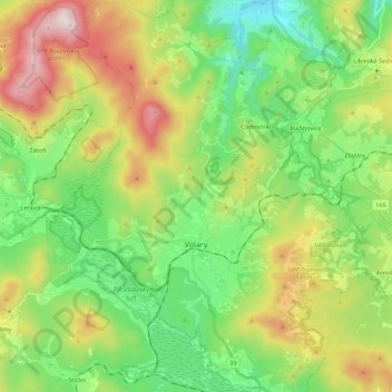
Name: Volary topographic map, elevation, terrain.
Location: Volary, okres Prachatice, Jihočeský kraj, Southwest, Czechia (48.85494 13.80292 49.00001 13.96746)
Average elevation: 2,812 ft
Minimum elevation: 1,929 ft
Maximum elevation: 4,419 ft