
Aziz topographic map
Interactive map
Click on the map to display elevation.
About this map
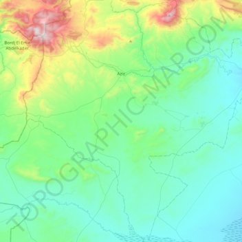
Name: Aziz topographic map, elevation, terrain.
Location: Aziz, Aziz District, Médéa, 26040, Algeria (35.58114 2.34731 35.92920 2.65826)
Average elevation: 2,900 ft
Minimum elevation: 2,133 ft
Maximum elevation: 5,909 ft