
Érd topographic map
Interactive map
Click on the map to display elevation.
About this map
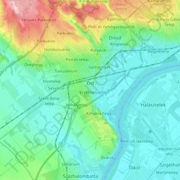
Name: Érd topographic map, elevation, terrain.
Location: Érd, Érdi járás, Pest megye, Central Hungary, 2030, Hungary (47.31453 18.83330 47.43021 18.96232)
Average elevation: 453 ft
Minimum elevation: 305 ft
Maximum elevation: 951 ft