
Meissen topographic map
Interactive map
Click on the map to display elevation.
About this map
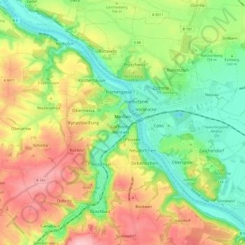
Name: Meissen topographic map, elevation, terrain.
Location: Meissen, Meißen, Saxony, Germany (51.12916 13.42417 51.19317 13.54228)
Average elevation: 535 ft
Minimum elevation: 279 ft
Maximum elevation: 869 ft