
L Église topographic map
Interactive map
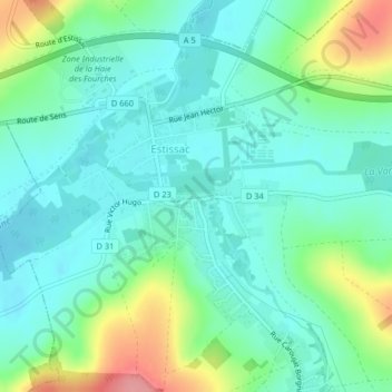
Click on the map to display elevation.
About this map
Name: L Église topographic map, elevation, terrain.
Average elevation: 499 ft
Minimum elevation: 410 ft
Maximum elevation: 741 ft
Other topographic maps
Click on a map to view its topography, its elevation and its terrain.
La Rue Saint-Michel
La Rue Saint-Michel, Estissac, Troyes, Aube, Grand Est, Metropolitan France, 10190, France
Average elevation: 558 ft