
Sabanilla topographic map
Interactive map
Click on the map to display elevation.
About this map
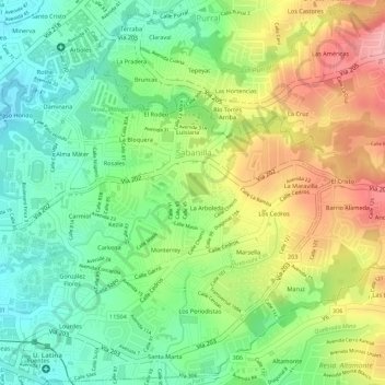
Name: Sabanilla topographic map, elevation, terrain.
Average elevation: 4,147 ft
Minimum elevation: 3,940 ft
Maximum elevation: 4,400 ft
Other topographic maps
Click on a map to view its topography, its elevation and its terrain.
San Rafael
Costa Rica > Cantón Montes de Oca
San Rafael, Cantón Montes de Oca, San Jose Province, 11504, Costa Rica
Average elevation: 4,360 ft